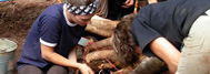

After completing surveys, we divided the site into five areas, each corresponding to a concentration of cultural remains. Areas number 2, 3, and 4 are located on small sandy knolls and constitute the site’s primary inhabitation spaces. Area number 3 is particularly interesting, It features two burning spots indicating possible hearths and perhaps dwellings. The concentration of bones and chipped shards also suggests the presence of a dumping ground and a stone-chipping space in this same area. 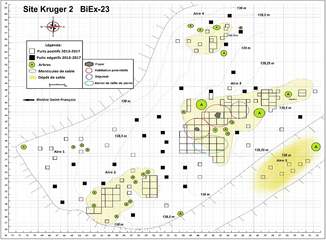
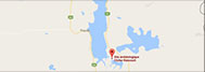
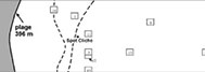
Distribution of the occupancy areas and excavated wells at the BiEx-23 site, also known as the Kruger 2 site.