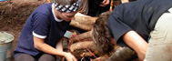

The Gaudreau site is divided into two sectors: A lower terrace (245 metres in altitude) and an upper terrace (247 metres in altitude). The upper terrace was subdivided into two sub-sectors, that of the northern plantation and that of the former Trahan mill to the south. 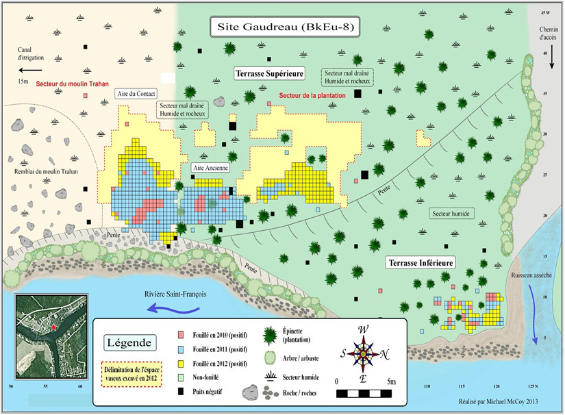
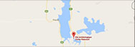
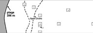
Distribution of the occupancy areas of the BkEu-8 site, also known as the Gaudreau site.